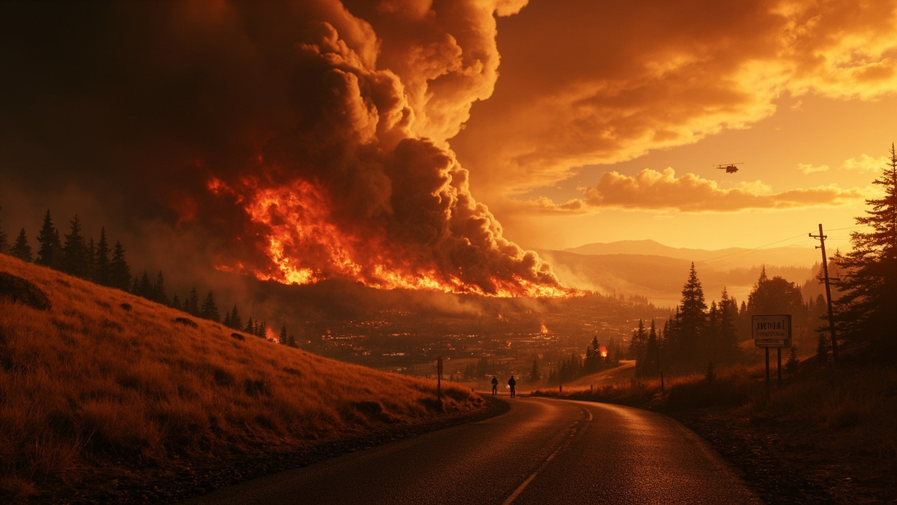
TL;DR: The Lyle Hill Fire started Sunday afternoon, June 28, 2026, near Lyle, Washington, prompted Level 3 “Go Now” and Level 2 “Get Set” evacuations, and drew a state mobilization order on June 28.
Fire start and location
The fire was first spotted Sunday near the town of Lyle, Washington, in the Columbia River Gorge, according to KATU. KATU reported the start at around 1:45 p.m. Sunday and said windy conditions spread it quickly. According to the Washington State Patrol, the Lyle Hill 2 Fire started on June 28, 2026, at approximately 1:51 p.m. in Klickitat County near Lyle. The Washington State Patrol said the fire was burning in grass, shrubs, and timber. The Oregonian/OregonLive described Lyle as an unincorporated Washington community of about 200 people and said the fire was burning on the hills above town. The Oregonian/OregonLive said dry grasses and brush in south central Washington fueled the fire and that it grew quickly over the course of the day.
Size estimates varied as mapping improved
Early size estimates differed as officials mapped the fire, according to KATU. According to the Washington State Patrol, the fire was estimated at 1,500 acres and growing on June 28. KATU reported that the fire was earlier reported to be 450 acres, but officials completed more accurate mapping that put it at 233 acres as of Monday afternoon. According to OPB, the Southeast Washington Interagency Incident Management Team estimated the fire to be 233 acres. OPB also reported that thirteen volunteers from Lyle had been deployed to assist in operations and that several other districts throughout Klickitat County had also been requested to provide assistance.
What was threatened
According to the Washington State Patrol, the fire was threatening homes, crops, and Bonneville Power Administration powerlines and substation. KATU reported that the fire prompted evacuations and threatened 75 structures. KATU also cited the Northwest Interagency Coordination Center’s morning briefing that structures, crops, power lines and substations were threatened. The cause of the fire remained under investigation, according to the Northwest Interagency Coordination Center as cited by KATU. The Washington State Patrol also said the fire cause was currently under investigation.
State mobilization authorized June 28
According to the Washington State Patrol, Washington State Patrol Chief John Batiste authorized mobilization of state firefighting resources on June 28, 2026, at 4:15 p.m. at the request of Fire Chief Brian Beaulaurier, Klickitat County Fire District 4. The assistance was mobilized under the Washington State Fire Services Resource Mobilization Plan in support of local firefighters working to contain the Lyle Hill 2 Fire, according to the Washington State Patrol. According to the Washington State Patrol, the State Emergency Operations Center at Camp Murray was activated to Level 2, partial activation, to help coordinate state assistance. Mobilization specialists from the Fire Protection Bureau ordered four wildland strike teams and four hand crews to aid in containment efforts, according to the Washington State Patrol. According to the Washington State Patrol, State Fire Marshal’s Office personnel were both en route and working remotely to coordinate dispatch of resources.
How the mobilization plan works
According to the Washington State Patrol, the Fire Protection Bureau coordinates initial dispatch and continued administrative oversight of resources and personnel for the duration of the mobilization. The Washington State Patrol said the Mobilization Plan provides a process to quickly notify, assemble and deploy fire service personnel, equipment and other resources from around the state when fires, disasters or other events exceed local jurisdiction capacity. More information about the Washington State Fire Services Resource Mobilization Plan is available at the Washington State Patrol’s all-risk-mobilization page, according to the Washington State Patrol. The release was sent by Deputy State Fire Marshal Amy Thornton, according to the Washington State Patrol.
Evacuation levels in Klickitat County
According to the Washington State Patrol, Level 2 and Level 3 evacuations were in effect on June 28. Klickitat County officials issued Level 3 “Go Now” and Level 2 “Get Set” evacuation commands over the weekend for residents of Lyle, according to The Oregonian/OregonLive. According to OPB, Klickitat County Emergency Management issued a Level 3 “Go Now” evacuation order for parts of the community on Sunday afternoon. KATU reported that Klickitat County Emergency Management downgraded some Level 3 “Go Now” alerts to Level 2 “Get Set” during the incident. According to KATU, those at Level 2 should be ready to leave at any moment. KATU also reported that remaining Level 3 “Go Now” alerts remained in effect at that stage of the incident. As of 6 p.m. on June 29, Klickitat County Emergency Management announced that all evacuation levels associated with the fire were downgraded, according to KATU.
Where to check evacuation zones
According to OPB, an interactive map of the evacuation area was available through Sartopo. KATU reported that residents could find information on the Klickitat County Emergency Management website and that updates on evacuation zones were available through the county’s evacuation map. According to KATU, residents could also sign up for Klickitat County emergency alerts. KATU reported that Klickitat County posted updates on Facebook about Centerville Highway operations. After a closed section reopened, electronic message boards would warn drivers “FIRE TRAFFIC AHEAD, USE CAUTION,” according to KATU. The county asked drivers to be mindful of first responders along roads in town, according to KATU.
Temporary evacuation points and shelters
According to OPB, two temporary evacuation points were set up at Bible Baptist Church in Goldendale and the Lyle Activity Center for residents to get and provide updates. According to OPB, an American Red Cross shelter opened at Columbia High School in White Salmon. Lyle Fire & Rescue District #4 listed temporary evacuation points at the Lyle Activity Center at 308 Klickitat Street in Lyle, Columbia High School at 1455 NW Bruin Country Road in White Salmon, and Bible Baptist Church at 1015 S. Columbus Avenue in Goldendale. According to Lyle Fire & Rescue District #4, Red Cross staff could assist displaced residents and property owners with identifying and accessing additional resources at the shelters. The listed Red Cross contact was 1-800-RED-CROSS, according to Lyle Fire & Rescue District #4. For structure welfare information and livestock and animal evacuation information, the listed contact was the Klickitat County Emergency Operations Center at 509-773-0570, according to Lyle Fire & Rescue District #4.
Roads and recreation closures
According to KATU, pilot vehicles would be used from 6 p.m. to 9 p.m. along the closed section of Centerville Highway on June 29. Two recreation areas near Lyle closed to the public, Doug’s Beach and the Lyle Cherry Orchard, according to The Oregonian/OregonLive. According to The Oregonian/OregonLive, Washington State Parks completely closed Doug’s Beach, a windsurfing and picnic area on the banks of the Columbia River. The Oregonian/OregonLive reported that the park is across railroad tracks skirting the edge of town and outside the official evacuation area. The Lyle Cherry Orchard is a 540-acre nature preserve run by Friends of the Columbia Gorge, according to The Oregonian/OregonLive. According to The Oregonian/OregonLive, the organization said the preserve was burning Monday afternoon with parts of the trail on fire. Lyle Fire & Rescue District #4 directed residents to county road-closure and state highway-closure resources for current status.
Weather during the start
According to OPB, weather in Lyle on Sunday afternoon was around 70 degrees. The National Weather Service issued a wind advisory for the area through 11 p.m. Sunday, according to OPB. KATU reported that the fire spread quickly because of windy conditions. The Oregonian/OregonLive said the fire was fueled by dry grasses and brush. OPB noted that Lyle experienced the Burdoin Fire in summer 2025, which destroyed 19 homes and burned more than 11,000 acres.
Investigators seek photos and witness reports
The cause remained under investigation, according to the Washington State Patrol. On Monday afternoon, officials with Lyle Fire & Rescue District No. 4 asked the public for help, according to KATU. According to KATU, officials sought pictures and video taken between 1:40 p.m. and 1:55 p.m. that show the fire starting. They also sought reports from anyone who saw hikers in the area above Riverview Drive before 1:40 p.m. Sunday, according to KATU. According to KATU, information and images could be sent to the fire district through its Facebook Messenger page.
What households can take from the response
Residents can check the county evacuation map before smoke is visible, because Klickitat County Emergency Management used Level 3, Level 2 and Level 1 designations during this fire, according to OPB and KATU. Households with large animals can arrange a receiving location in advance, after a Lyle resident offered stables for evacuated horses during this incident, according to KATU. Drivers can plan for pilot-vehicle movements and warning boards on Centerville Highway during active fire traffic, according to KATU. Visitors can confirm that Doug’s Beach and the Lyle Cherry Orchard are open before traveling, because both closed during the fire, according to The Oregonian/OregonLive. People who need shelter help can contact the Red Cross at 1-800-RED-CROSS, and people seeking structure or livestock information can contact the Klickitat County Emergency Operations Center at 509-773-0570, according to Lyle Fire & Rescue District #4.
Sources referenced
- State Fire Mobilization Authorized for the Lyle Hill 2 Fire - Washington State Patrol (https://wsp.wa.gov/state-fire-mobilization-authorized-for-the-lyle-hill-2-fire/)
- Evacuation orders downgraded for wildfire in Lyle, Washington - OPB (https://www.opb.org/article/2026/06/28/wildfire-lyle-wash-prompts-evacuation-order/)